|
Early History
Ridge House
The Gardens
Ridge Families
Topography
Maps
Time Tour
Picture Gallery
|
|
 |
| |
A chronology
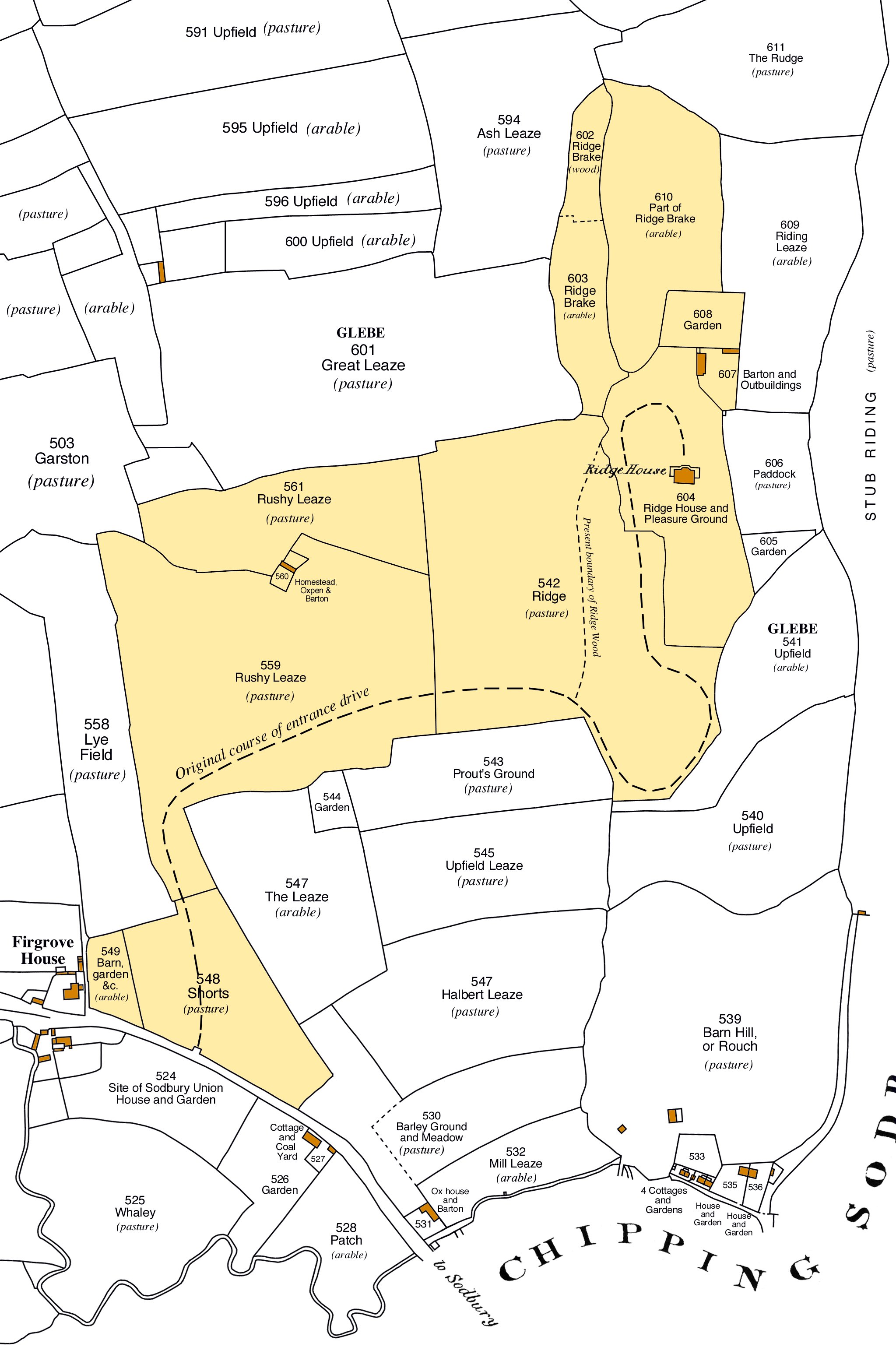
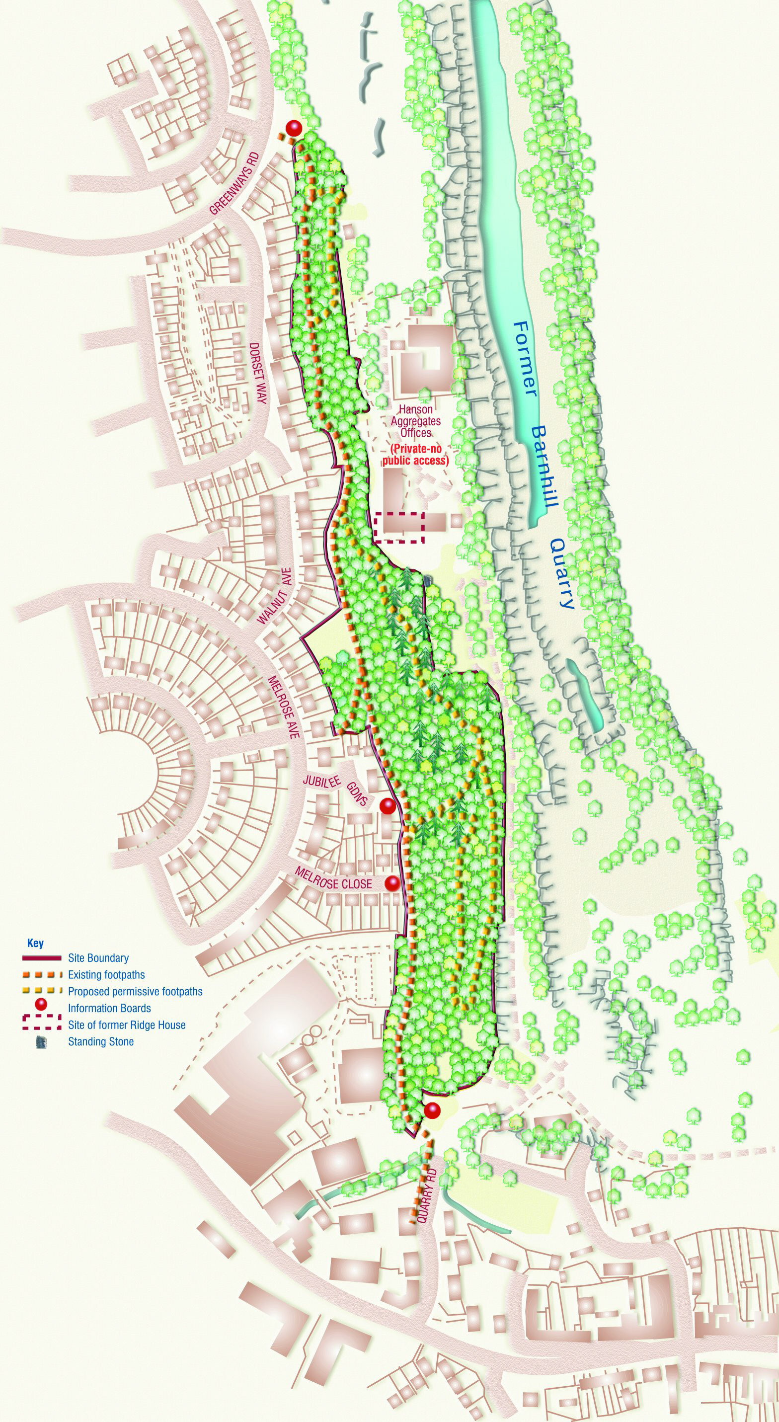
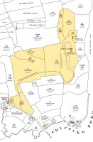
Thanks to a large amount of research carried out as part of this project, there are a number of maps that allow for comparison over time.
They are displayed as 'thumbnails' (small images). Click on the image you wish to see in more detail and a larger version will pop up.
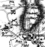
Isaac Taylor's map of 1777
|
Tythe Map
|
| |
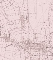
Map of 1824
|
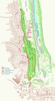
Present day schematic map
|
|
Return to top of page
|
|
| |
|